
Event site planning on a satellite map: drag real-scale stages and marquees onto your venue, then hand the crew a professional logistics PDF.
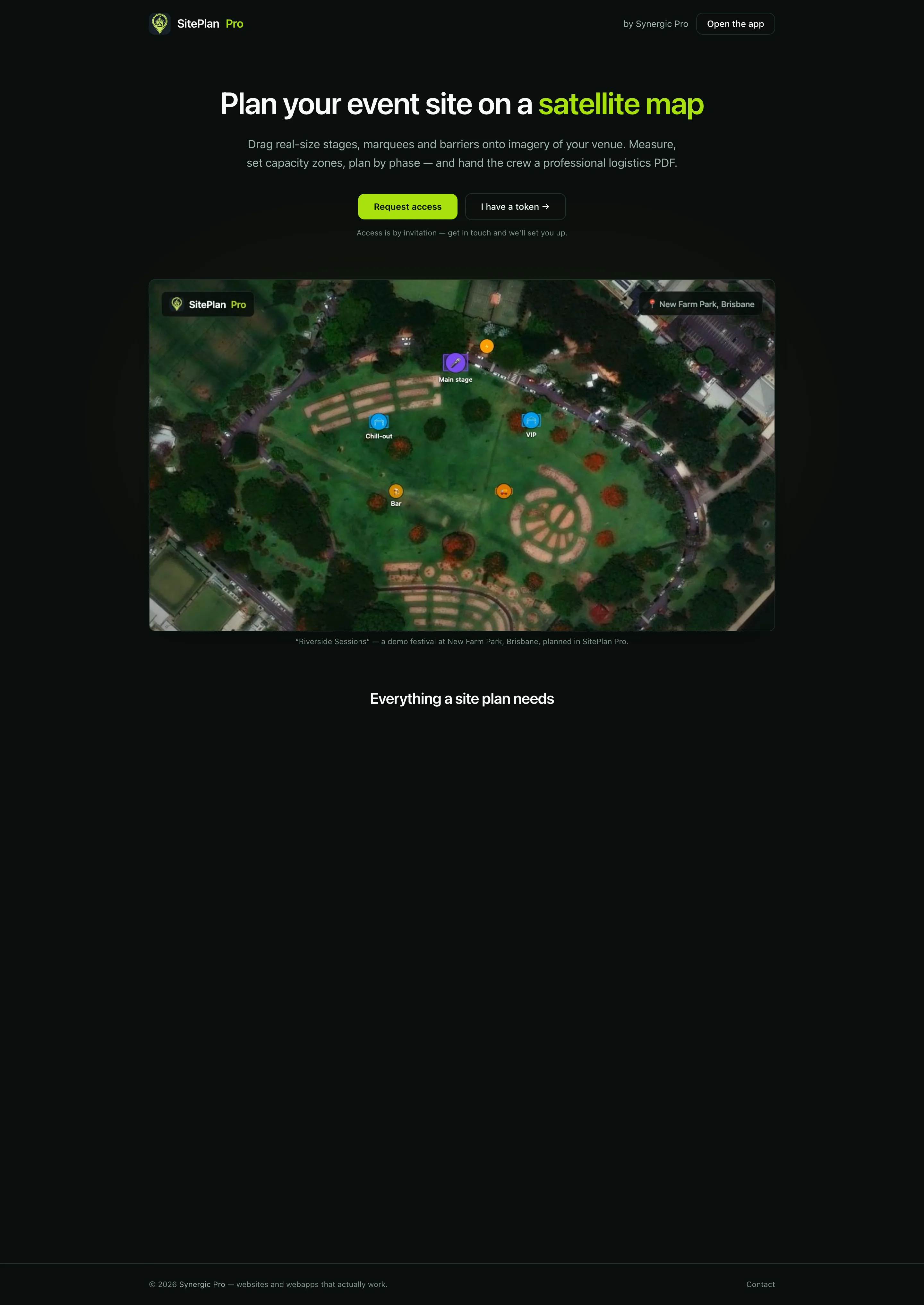
Event site plans usually get drawn in slide decks and generic design tools, where nothing is to scale. A marquee that fits on the slide does not fit on the grass, capacity gets estimated by eye, and the build crew turns up with a diagram that does not match the ground they are standing on.
SitePlan Pro puts the plan on real satellite imagery of the venue. Equipment is placed at true size, so a stage occupies the space it will actually occupy. Measurement tools and capacity zones calculate headcount against custom occupancy ratios, and the plan splits into build, event and breakdown phases so each crew sees only what concerns it. Exports go out as an A3 logistics PDF for the crew, or as PNG, GeoJSON and DXF for anyone who needs the geometry.
Organisers plan on the actual ground instead of a blank slide, and hand crews a professional A3 PDF instead of a screenshot. The app works offline for on-site use where reception fails, syncs across devices, and ships with a custom equipment library and reusable event templates.
Let's chat about your project. No commitment, no pressure.